| Image Description | Credit | Artist | License Name | File |
|---|
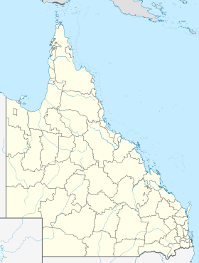
| Positionskarte von Queensland , Australien | Eigenes Werk , using United States National Imagery and Mapping Agency data World Data Base II data Australian Government, Department of Infrastructure, Transport, Regional Development and Local Government | NordNordWest |
| Datei:Australia Queensland location map.svg |
| The Wikimedia Commons logo, SVG version. | Original created by Reidab ( PNG version ) SVG version was created by Grunt and cleaned up by 3247 . Re-creation with SVG geometry features by Pumbaa , using a proper partial circle and SVG geometry features. (Former versions used to be slightly warped.) | Reidab , Grunt , 3247 , Pumbaa |
| Datei:Commons-logo.svg |
| Flag of Australia, when congruence with this colour chart is required (i.e. when a "less bright" version is needed). See Flag of Australia.svg for main file information. | Eigenes Werk | Unknown (Vector graphics image by Ian Fieggen ) (only minor code changes by uploader.) |
| Datei:Flag of Australia (converted).svg |
| State flag and government ensign (internal waters only) of Queensland. FIAV 110010.svg : | Diese Fahne enthält Elemente von | Government of Queensland |
| Datei:Flag of Queensland.svg |
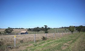
| Haigslea | Eigenes Werk | Eknath Gavarasana |
| Datei:Haigslea1.JPG |
| Shiny red button/marker widget. Used to mark the location of something such as a tourist attraction. | Eigenes Werk | Andux |
| Datei:Red pog.svg |


