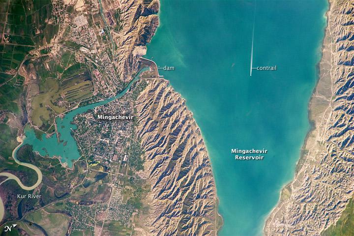
Mingachevir Reservoir #

The afternoon sun highlights distinctive parallel patterns in the hills that are the result of water and wind erosion of different rock layers exposed at the surface. The nearby city of Mingachevir (left) is split by the Kur River after it passes through the dam and hydroelectric power station complex at image top center.
The current city was built in support of the hydroelectric power station constructed as part of the then-Soviet Unions energy infrastructure for the region. Today, Mingachevir is the fourth-largest city in Azerbaijan (by population), and it has become a cultural and economic center of the country.
The width of the reservoir illustrated here is approximately 8 km (5 mi); a jet flying over the reservoir left a contrail midway between the shorelines.