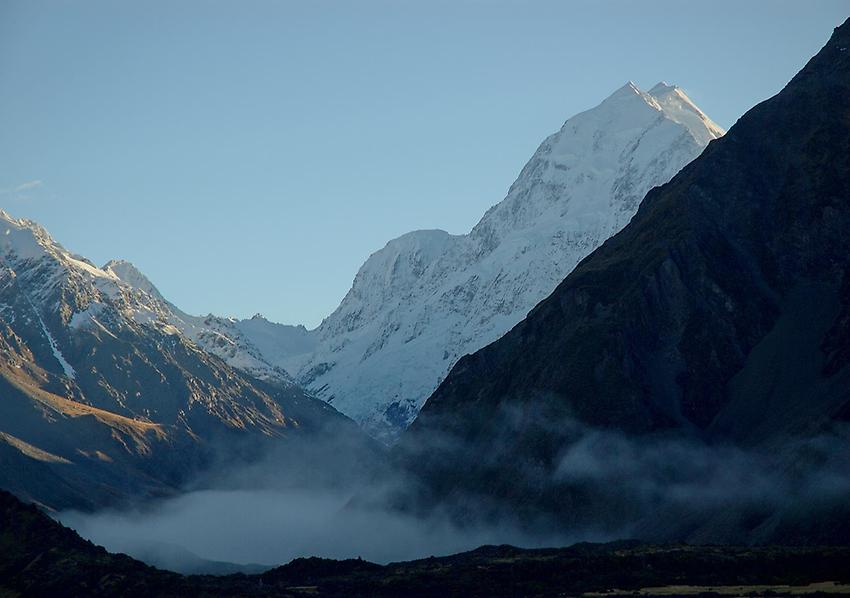
Mount Cook#

Mount Cook (Maori: Aoraki) Mount coolk, NZ is the highest mountain in New Zealand. Until 2014, its height was officially listed as 3,754 metres, but new measurements have given a revised height of 3,724 metres. It lies in the Southern Alps, the mountain range which runs the length of the South Island. A popular tourist destination, it is also a favourite challenge for mountain climbers. Mount Cook consists of three summits lying slightly south and east of the main divide, with the Tasman Glacier to the east and the Hooker Glacier to the west.
The first ascent was on 25 December 1894, when New Zealanders Tom Fyfe, John Michael (Jack) Clarke and George Graham successfully reached the summit via the Hooker Valley and the north ridge.
The height of Mount Cook was established in 1881 by G. J. Roberts (from the west side) and in 1889 by T. N. Brodrick (from the Canterbury side). Their measurements agreed closely at 12,349 feet (3,764 m). The height was reduced by 10 metres when approximately 12-14 million cubic metres of rock and ice fell off the northern peak on 14 December 1991. Two decades of erosion of the ice cap exposed after this collapse reduced the height by another 30m to 3724 m, as revealed by new GPS data from a University of Otago climbing expedition in November 2013.
Mount Cook lies in the center of the distinctive alpine fault, a 650 km long active fault in the Southern Alps. It is responsible for the uplift of Mt Cook and is considered to move every 100–300 years . It last moved in 1717.