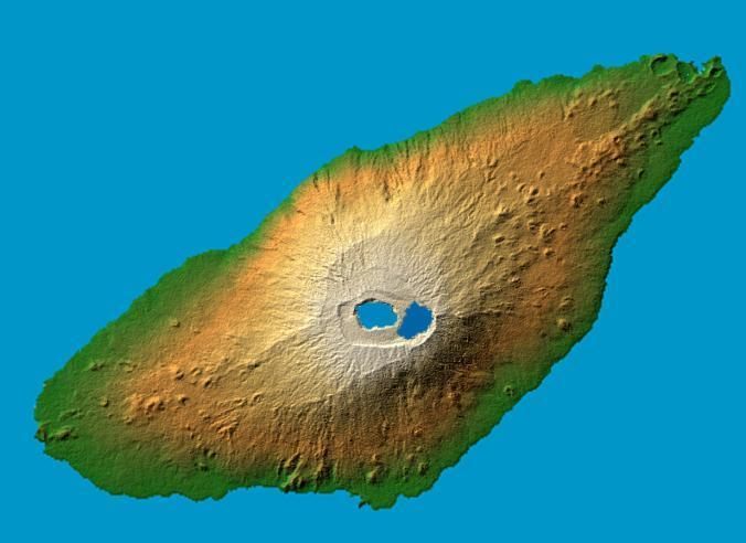
Mt. Manaro #

Image courtesy of NASA., under PD
Two visualization methods were combined to produce the image: shading and color coding of topographic height. The shade image was derived by computing topographic slope in the northwest-southeast direction, so that northwest slopes appear bright and southeast slopes appear dark.
Color coding is directly related to topographic height, with green at the lower elevations, rising through yellow and tan, to white at the highest elevations.