Impressions of Lesser Antilles#
The Lesser Antilles are a group of islands in the Caribbean Sea. They form a long, partly volcanic island arc between the Greater Antilles to the north-west and the continent of South America.The islands are more remote than the Northern Antilles and many can only be visited by smaller cruise ships or even only using local ferries and boats. For this reason, they are particularly charming.
From a political point of view they are complicated: Some are independent small nations, others are either administered by the UK, France, the Netherlands, the US or Venezuela (off-shore islands). The most important ones are shown on the map Martinique, Antilles , and are, on the map from top to bottom (with status and rough population shown in thousands in brackets):
- Virgin Islands (US part,110 and UK part,27)
- Anguilla (UK, 14)
- St Kitss & Nevis (independent, 55)
- Antigua and Barbuda (independent, 87)
- Montserrat (UK, 5)
- Guadeloupe (France, 440)
- Dominica (independent,73)
- Martinique (France,400)
- St Lucia (independent,174)
- St Vincent and the Grenadines (independent, 110)
- Grenada (independent, 100)
- Trinidad and Tobago(independent,1.350)
- Margarita / Porlamar (Venezuela, 400).
Thus, more than half of the population of about 2,2 million (this exludes Margarita, really a part of Venezuela) lives in Trinidad and Tobago, and about one third in islands administered by France.
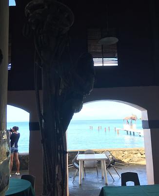
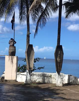
The following impressions were compiled by Dr. Claudia Brandstätter in 2018 and made available to the Austrian Forum.
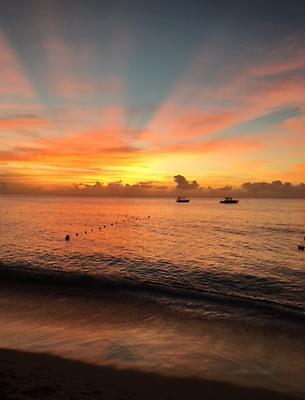
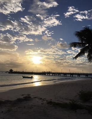
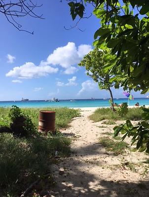
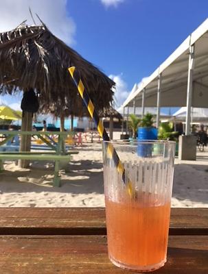
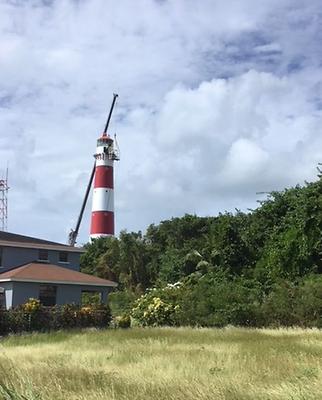
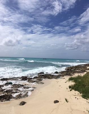
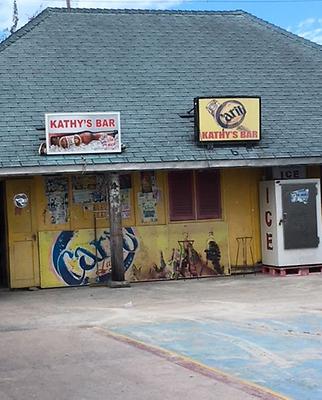

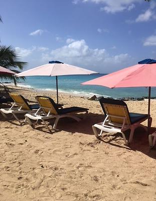

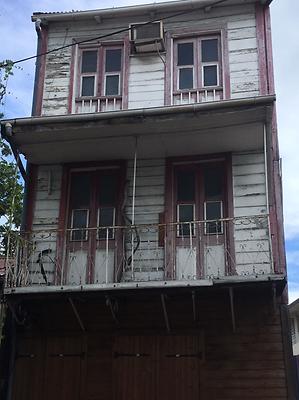
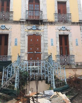
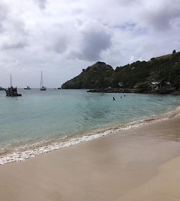
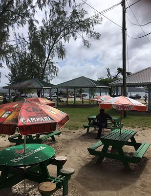

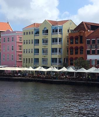
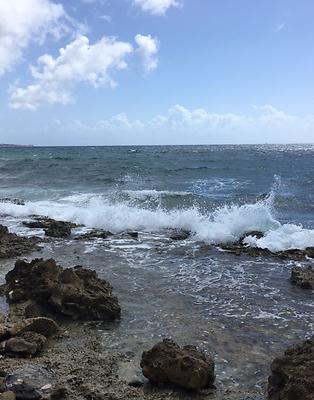
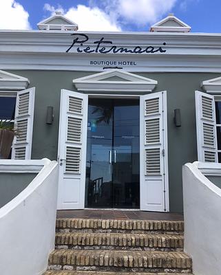
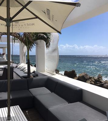
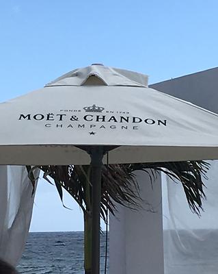
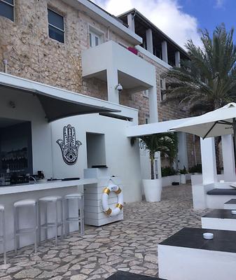
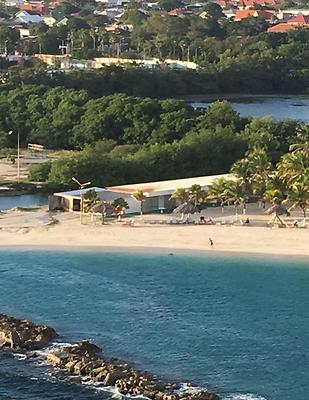
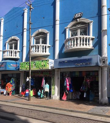
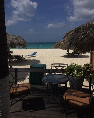
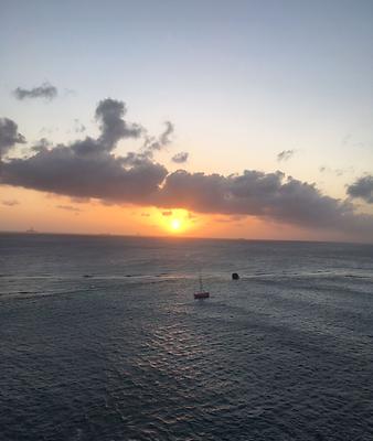
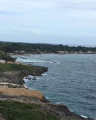
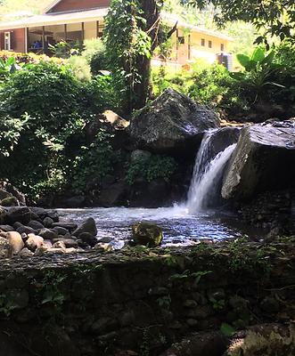
See also the many 360° Panoramas of Lesser Antilles#