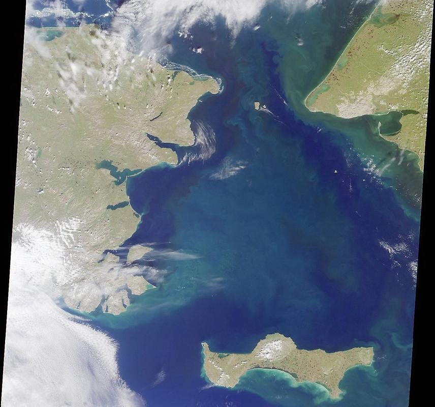
Bering Strait #

Image courtesy of NASA., under PD
It is named for Danish explorer Vitus Bering, who spotted the Alaskan mainland in 1741 while leading an expedition of Russian sailors. The boundary between the US and Russia lies between Big and Little Diomede Islands, which are visible in the middle of the Bering Strait.
At the bottom of this image is St. Lawrence Island. Situated in the Bering Sea, it is part of Alaska.