Zhangye Danxia Geopark#
Photos by Sergey Shandin and Stas Sedov,
members of the AirPano Team that is a member of the global-geography Consortium.
29 August 2018
with kind permission of AirPano
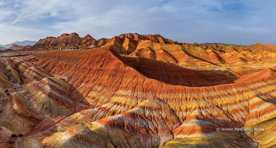
China has such a unique landform that there is a special word for it — Danxia. It refers to various landscapes that consist of red sandstone characterized by steep colourful cliffs. The areas of Danxia landforms are located in several regions of the country, and near the city of Zhangye, there is a national geopark bearing this name. Mass media considers it to be one of the most beautiful landforms in China.

© AirPano
This landscape has appeared due to certain geological processes, climate and time. A lake existed here 80 million years ago, but when it had gone dry, the deposits of sandstone and other minerals replaced the water. Then the action of the tectonic plates created the mountain landform, which in its turn suffered the wind, water and erosion.

© AirPano
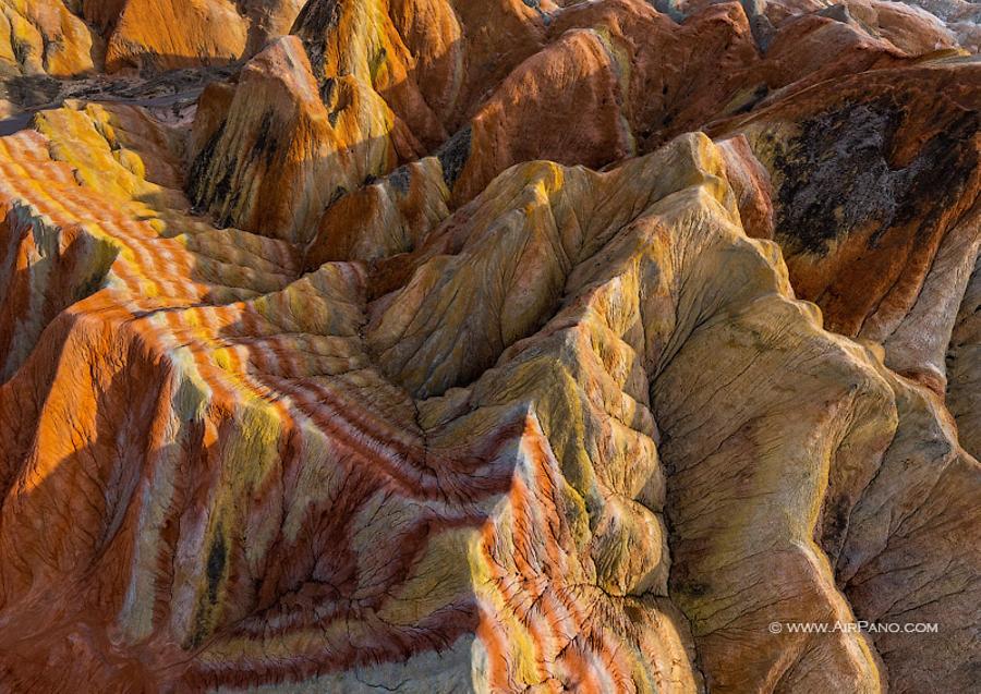
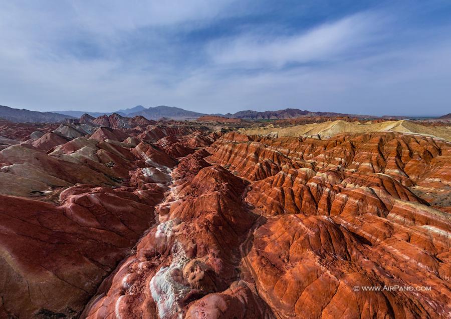
As a result, a unique landscape with numerous caves, grottos, ravines, valleys, columns and towers covering 322 sq km was created. Not a single sculpture resembles the other one: albeit the red colour dominates here, the shades are still different, as well as the texture and sizes. Even during the day, the colour may change depending on the angle of the sunlight and the place where the shadows fall.

© AirPano
In ancient times, the Silk Road laid through the territory that now is occupied by the Zhangye Danxia Geopark. The famous explorer Marco Polo visited these lands, as well. In 2010, together with other five Danxia landforms located in the subtropical area of southeast China, Zhangye Danxia was inscribed as a Unesco World Heritage Site.

© AirPano
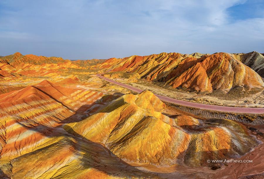
Many tourists visit this place nowadays, so a lot of wooden decks and access roads were created for their comfort. And now, there is another opportunity to admire these exotic colourful mountains — AirPano virtual tour.

© AirPano
17 panoramas of Zhangye Danxia Geopark