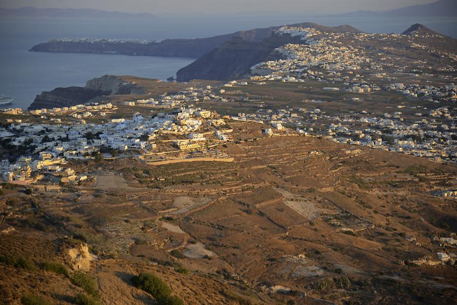
Aerial View of the Island#

Aerial View of the Island, September 2013, © Gerhard Huber, under CC BY-NC 4.0 +Edu
Tatsächlich ist die Landschaft Santorins an Dramatik kaum zu überbieten. Die 16 km durchmessende Caldera mit den kleinen Vulkanen Nea und Palea Kameni bildet das Herz des Archipels. Im Südosten ragt der höchste Berg der Insel, der Profitis Ilias, 567 m in den Himmel, ein uraltes Relikt aus vorvulkanischer Zeit. An seinen Flanken erstrecken sich ausgedehnte Lava-Ebenen mit den berühmten schwarzen Stränden Santorins. Doch Vorsicht! Im Sommer heizt sich der dunkle Sand auf spiegelei-taugliche Temperaturen auf. Die Gesamtfläche der Insel erstreckt sich über 92 km². 18.300 ständige Einwohner leben hier, d.h. auf jeden Einheimischen kommen übers Jahr etwa 80 Touristen kein Wunder, gilt doch Santorin als eines der spektakulärsten Reiseziele Europas!
In fact, Santorini's landscape is hard to beat in drama. The 16 km Caldera with the small volcanoes Nea and Palea Kameni forms the heart of the archipelago. In the southeast the highest mountain of the island towers 567 m into the sky. The Profitis Ilias is an ancient relic from pre-volcanic time. On its flanks extend lava plains with the famous black beaches of Santorini. But beware! In the summer, the dark sand heats up to high temperatures. The total area of the island stretches over 92 km². 18,300 permanent residents live here and every year around 80 tourists per inhabitant come across. No wonder, as Santorini is considered one of the most spectacular tourist destinations in Europe!