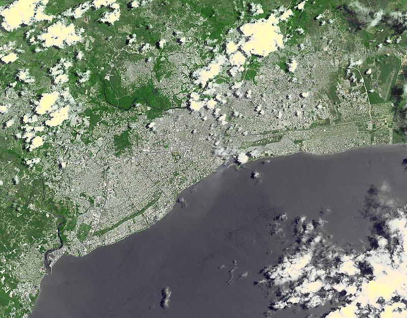
Santo Domingo #

Photo courtesy of NASA., under PD
The town was laid out in a grid pattern that became the model for almost all town planners in the New World. This Terra satellite image, acquired on 18 May 2011, covers an area 24 x 30 km (15 x 18 mi).